

Disaster Alert
December 15, 2022
Source: The Weather Channel
At a Glance:
- At least five possible tornadoes were reported in the New Orleans metro area.
- Multiple deaths and dozens of injuries were reported in Louisiana.
- The community of Arabi in St. Bernard Parish was struck for the second time in nine months.
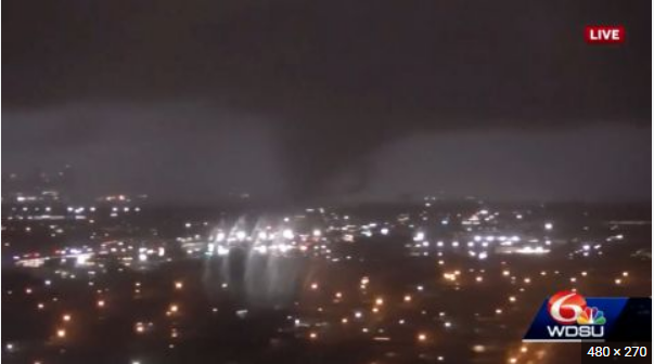
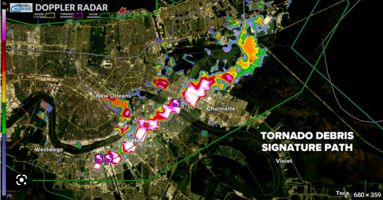
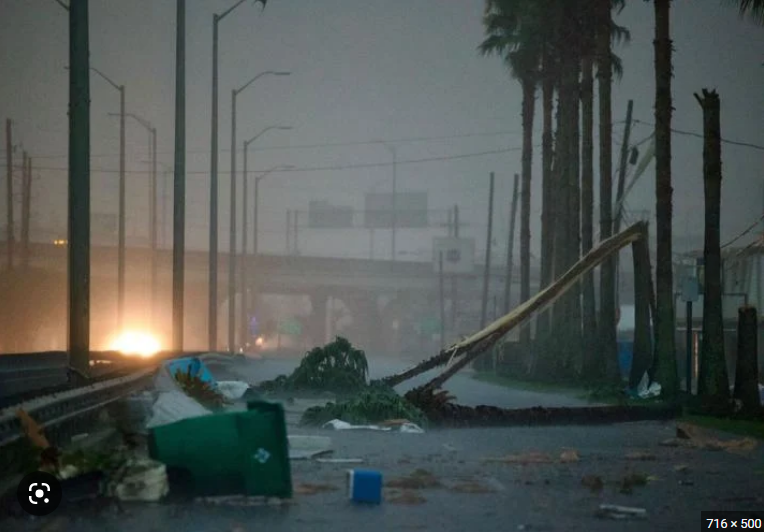
Much of the New Orleans area will be assessing the damage today after destructive tornadoes tore through on Wednesday.
At least five possible tornadoes were reported in the New Orleans metro area, including one in Arabi in St. Bernard Parish, which was struck by an EF3 tornado on March 22. New Orleans’ Ninth Ward was also struck.
Extensive damage was reported in the city of Gretna in Jefferson Parish as well.
Three people were killed during the storms in Louisiana. A 30-year-old woman and her 8-year-old son died when a tornado destroyed their home in Caddo Parish, and a 56-year-old woman in St. Charles Parish died after a tornado destroyed her house in the Killona area.
For full report, please click the source links above.